Loading...


Utility Mapper GPR CE Certified

- Description
- Reviews
Utility Mapper GPR CE Certified
Utility Mapper GPR Specification:
Number of channels: 2
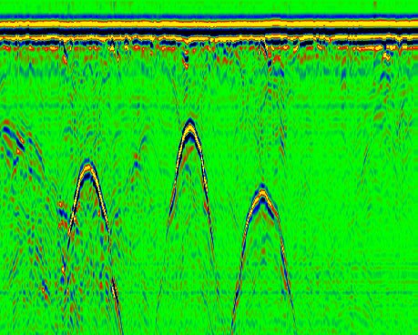
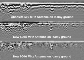
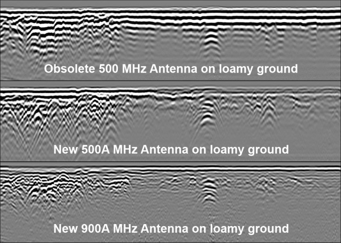
Frequency: 500 MHz
The time range: user selected from 1 to 2000 ns with 1 ns step.
Frequency of pulse repetition of transmitter: 115 KHz
Scan rate: 320/160/80/40
Samples per scan: 128/256/512/1024 x 16 bit
Filters: user selected high pass filter from set: Weak, Strong, Super strong, Customized digital filter
Data transmission: through Wi-Fi or Ethernet to PC
Input power: 10.5-13 V DC 0.85 A (build-in rechargeable battery)
Dimension: 35x67x18 cm
Weight: 10.5 kg
Receiver sensitivity: 120 mcV
Receiver gain: 10 dB
Transmitter output: 150 V
Resolution and depth: 0.4 x 7-10 m
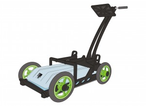
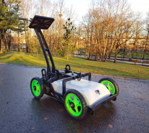
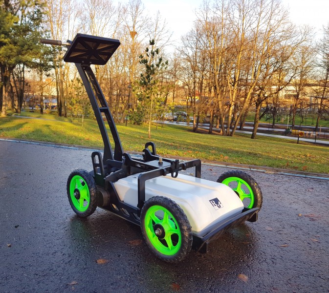
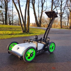
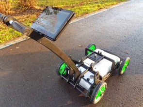
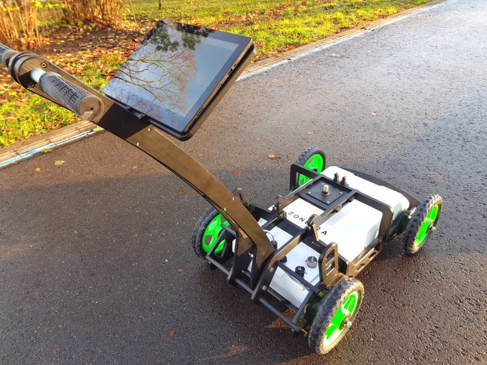
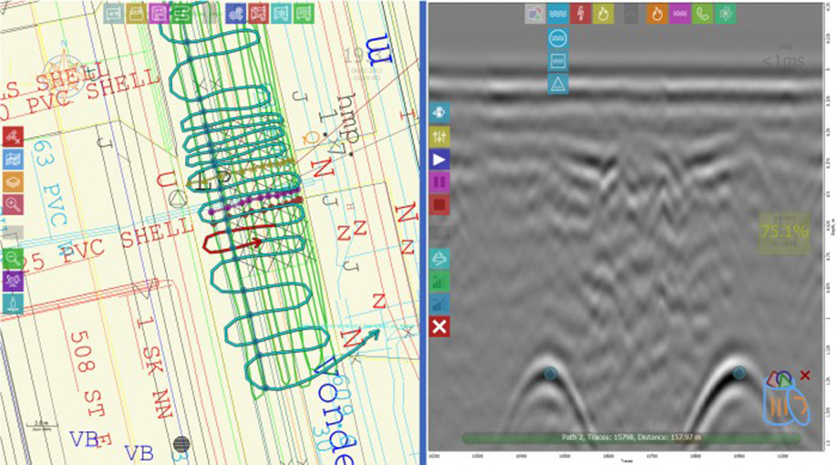
Utility Mapper is a single-unit Zond-family GPR, specially designed for real-time underground infrastructure mapping and tracking. Fully portable, easy operating, wireless equipment what gives the quick and quality result right on site. Device equipped by the brand new RadarMap software.
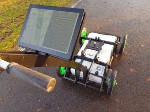
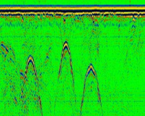
The user is getting a real-time information as a radiolocation profile (sometimes also referred to as radargram) and real-time position on the user or online map (if GPS or WPS device is connected and map is opened). Data are recorded on a hard disc for further use (processing, printout, interpretation, etc.) at the same time.
Utility Mapper has a built-in 500A antenna for single or dual channel operation on the different time ranges, and operates on the shockproof cart.
All georadar parameters are computer controlled.
Units in box: 1
There are yet no reviews for this product.
